
Tutorial, Panduan & Sumber Daya
Tutorial pengembang, perbandingan API, dan panduan cara membangun dengan MapAtlas.
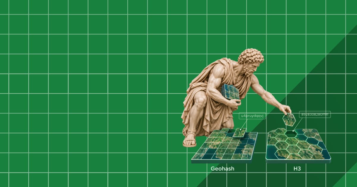
Geohash and H3: Spatial Indexes Explained, with Real Data
Geohash and H3 turn coordinates into cell IDs. We bucketed 8,466 Dutch post boxes with both and measured cell sizes, radius queries and hierarchy.

What Is Telematics? How Fleet Tracking Turns GPS Pings into Miles
Telematics explained, from tracker to backend. In 10 simulated fleet rounds, 2-minute pings lost 18% of the mileage; map matching cut that to 2.7%.

GNSS Jamming and GPS Spoofing: What They Do to Navigation
We jammed and spoofed GPS traces on Baltic city routes. Map matching rode out 60 s outages, but a 200 m spoof pulled every run onto the wrong roads.

Levels of Autonomous Vehicles: Where Level 3 and 4 Are Legal
SAE levels 0 to 5 in plain words, where Level 3 and Level 4 are legal in late 2026, and the 91,600 km of EU road where a Level 3 motorway system may drive.
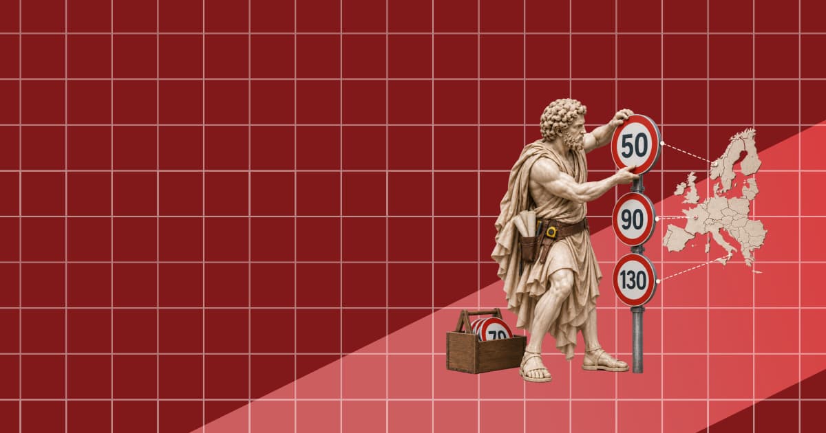
Speed Limits in Europe by Country and Road Type
Default speed limits for cars in 32 European countries, the German Autobahn in the map data, and how many roads carry a speed limit in OpenStreetMap.

The Future of Mapping: Maps Read by Cars, Drones and Robots
Since 2016, OpenStreetMap in Europe gained 3.7 times more lane tags, 8.8 times more sidewalk tags and 83 times more kerbs. Maps are now built for machines.

Flock and ALPR Cameras by US State: The Count from OpenStreetMap
How many Flock and ALPR cameras are mapped in each US state: fresh OpenStreetMap counts for all 50 states, per 100,000 residents, and growth since May 2026.
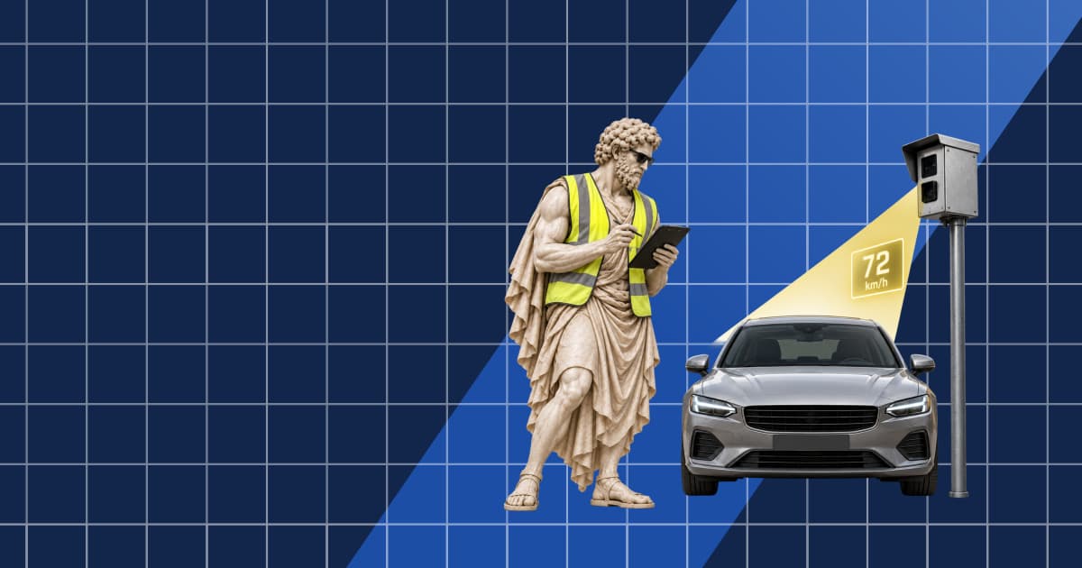
Average Speed Cameras in Europe: How Section Control Works
How average speed cameras work, and where Europe's section controls are: counts per country from OpenStreetMap and our camera index, checked against official lists.

Robotaxi Tracker: Every City with Driverless Taxis (October 2026)
32 cities have robotaxis carrying passengers in October 2026. 17 run fully driverless paid service, none in Europe. Status, rules and a source per city.
As the Crow Flies vs by Road: How Much Longer Trips Really Are
We routed 116 city pairs and compared road distance with distance as the crow flies. The road is 23.5% longer at the median, and up to 2.9 times longer.
Last-Mile Delivery, Measured: Where a Delivery Route Loses Its Time
We routed 30-stop and 60-stop delivery rounds in Madrid, Paris and Amsterdam. Driving is a quarter of the day; parking and the walk to the door take the rest.
Catchment Area Analysis: Drive Times vs Circles
We drew 10-minute drive-time catchments and 5 km circles around 60 supermarkets in Lyon, Munich and Milan. The circle overcounts residents and reorders sites.
Low Emission Zones in Europe: What OpenStreetMap Maps, Country by Country
OpenStreetMap maps 170 low emission zones in 14 European countries. Counts per country, how they compare with official lists, and how to query them.
What Is a Proportional Symbol Map? Definition, Graduated Symbols, and How to Build One
A proportional symbol map sizes a circle at each location by a count. How to scale symbols by area, graduated vs proportional symbols, and a MapLibre build.
What Is a Dot Density Map? Definition, Examples, and How to Build One
A dot density map places one dot per N units of data inside each region. How dot maps work, how to pick a dot value, and how to build one on a web map.
What Is a Cartogram? Definition, Types, Examples, and How to Make One
A cartogram resizes regions by a data value instead of land area. See the types of cartogram map, worked examples, and how to build one with map data.
Intelligent Speed Assistance (ISA): How New Cars in Europe Know the Speed Limit
Intelligent speed assistance is required on every new car in the EU. How ISA finds the speed limit, what the law demands, and where the data goes wrong.
What Is a Map Legend? Parts of a Map Key, Examples, and How to Make One
A map legend, or map key, explains the symbols, colours, and lines on a map. See the parts of a legend, real examples, and code to build one for a web map.
Apa Itu Distance Matrix? Waktu Tempuh, API, dan Routing
Distance matrix adalah grid waktu tempuh dan jarak antara banyak titik asal dan tujuan. Pelajari cara kerja distance matrix API, di mana ia dipakai di production
Garis Kontur Adalah: Cara Membaca, Interval Kontur, dan Jenis Isoline Lainnya
Garis kontur menghubungkan titik-titik dengan ketinggian sama. Cara membaca jarak antargaris, interval kontur, dan bentuknya, cara menghitungnya dari data, serta isobar, isoterm, dan peta isopleth.
Peta Choropleth: Pengertian, Contoh, dan Cara Membuatnya dengan API
Peta choropleth mewarnai wilayah berdasarkan nilai data seperti kepadatan penduduk, hasil pemilu, atau GDP. Pelajari cara kerjanya, kapan digunakan, dan cara membangunnya.
Memahami Proyeksi Peta: Mercator, Web Mercator, dan Trade-off-nya
Proyeksi peta meratakan Bumi yang bulat ke permukaan datar, dan setiap proyeksi pasti mendistorsi sesuatu. Pelajari cara kerja Mercator, Web Mercator, equal-area
Jenis kamera tilang dan peta kamera kecepatan gratis
Jenis kamera penegakan lalu lintas, beda kamera kecepatan rata rata dengan kamera lampu merah, dan peta gratis berisi 106.646 perangkat di 106 negara.
Walkability Score: Cara Menghitung dan Menggunakannya
Walkability score menilai seberapa banyak kebutuhan harian ada dalam jarak jalan kaki dari sebuah alamat. Metode lengkap, indeks 20 kota Eropa, dan cara memakainya.
Apa Itu Geocode? Bagaimana Alamat Menjadi Koordinat
Geocode adalah koordinat hasil resolusi sebuah alamat, plus metadata yang menyatakan seberapa layak dipercaya. Pelajari apa yang dikembalikan geocoding API dan cara membaca presisi.
Apa Itu POI? Memahami Data POI, Atribut, dan Sumbernya
Apa itu POI? Data POI adalah catatan terstruktur tentang tempat yang dicari orang. Pelajari isi sebuah record POI dan dari mana datanya berasal.
SEO Hotel: Panduan Lengkap untuk Pencarian AI
Panduan SEO hotel lengkap: fondasi yang mendorong direct booking, plus layer location data yang menentukan apakah AI merekomendasikan propertimu.
EU Data Act, Dijelaskan untuk API Lokasi dan Peta
EU Data Act mengubah siapa yang mengendalikan data hasil mesin. Inilah arti tenggat September 2026 bagi location data dan maps API.
Apa Itu GeoJSON? Format, Tipe Geometri, dan Jebakan Production
GeoJSON adalah format berbasis JSON yang dibaca setiap library peta modern. Pelajari tipe geometri, pola Feature, dan jebakan yang menggigit di production.
Cara Membuat Store Locator dengan Maps API
Store locator adalah fitur yang mengubah kode pos jadi daftar toko terdekat di peta. Pelajari cara membuatnya dengan maps API: geocode, cari, urutkan, render.
Format Kode Pos Eropa: Referensi per Negara untuk Developer
Kode pos Eropa sangat bervariasi dalam panjang, format, dan maknanya. Panduan ini adalah referensi per negara untuk 27 negara anggota EU plus UK, Swiss, dan Norwegia
Apa Itu Geofence? Bagaimana Batas Virtual Menggerakkan Aplikasi Berbasis Lokasi
Geofence adalah batas virtual di sekitar area dunia nyata yang memicu aksi saat sebuah perangkat atau AI agent masuk atau keluar. Pelajari cara kerja geofencing dan membangunnya.
Cara Membangun Peta Acara Kota: Venue, Kategori, dan Penemuan Langsung
Panduan praktis membangun peta acara kota: geocoding venue, memasang dan cluster marker, filter berdasarkan kategori dan area, serta membuat listing mudah ditemukan.
Apa Itu Map Viewport? Center, Zoom, dan Jendela Tile yang Terlihat
Map viewport adalah jendela peta yang terlihat: koordinat center, zoom level, serta opsional bearing dan pitch.
Geocoding Pintu Masuk Gedung: Mengapa Pin di Atap Saja Tidak Cukup
Geocoding tingkat pintu masuk mengembalikan pintu yang benar-benar didatangi pengemudi, bukan centroid atap. Inilah alasan tim last-mile mulai melampaui sekadar pin.
Apa Itu Bounding Box? Panduan Developer untuk BBox di Peta dan API
Bounding box adalah persegi panjang terkecil yang memuat sebuah fitur atau sekumpulan titik. Pelajari format, konvensi
AI Maps Dijelaskan: Apa yang Sebenarnya Dilakukan Peta AI
AI maps punya tiga arti: fitur AI di aplikasi peta, peta yang dihasilkan AI, dan peta sebagai tool untuk AI agent. Pelajari mana yang penting untuk bisnismu.
Apa Itu Route Optimization? Algoritma, Constraint, dan API
Route optimization adalah praktik mengurutkan stop dan menugaskan vehicle agar fleet menyelesaikan pekerjaannya dengan waktu, jarak, atau biaya seminimum mungkin.
Apa Itu Map MCP Server? Memberi AI Agent Data Lokasi Langsung
MCP server membuat AI agent bisa memanggil tool nyata. Map MCP server memberi mereka geocoding, search, dan routing langsung. Pahami apa itu MCP server di 2026.
Apa Itu Map Matching? Snapping GPS Trace ke Jaringan Jalan
Map matching mengubah GPS trace yang noisy menjadi jalur bersih di road graph. Pelajari cara kerja Hidden Markov Model, OSRM, dan Valhalla
Apa Itu Peta Isochrone? Penjelasan Poligon Waktu Tempuh
Peta isochrone menampilkan setiap lokasi yang dapat dijangkau dalam waktu tempuh tertentu dari sebuah titik awal.
Jenis-Jenis Peta: Peta Umum, Peta Tematik, dan 12 Contohnya
Jenis jenis peta dari peta umum (politik, fisik, topografi, jalan, kadaster) sampai peta tematik (koroplet, titik, simbol proporsional, aliran): isi, data, dan kapan dipakai.
Peta kamera Flock: kamera ALPR di Eropa dan AS di OpenStreetMap
OpenStreetMap mencatat 153.759 kamera ALPR di seluruh dunia dan 8.900 di Eropa. Jumlah per negara, cara memakai peta kamera Flock, dan apa yang diketahui tentang Flock di Eropa.
Apa Itu OpenStreetMap? Panduan Lengkap untuk Developer
OpenStreetMap adalah peta dunia yang gratis, terbuka, dan berbasis komunitas. Panduan ini menjelaskan apa itu OSM, perbedaannya dengan Google Maps
Apa Itu HD Map untuk Kendaraan Otonom? Panduan Lengkap
HD map adalah peta akurat hingga sentimeter yang bisa dibaca mesin, memberi tahu kendaraan otonom posisi marka jalan, rambu, dan garis berhenti secara tepat.
Longitude vs Latitude: Cara Kerja Koordinat GPS dalam Praktik
Latitude mengukur posisi utara-selatan, longitude mengukur timur-barat. Panduan ini menjelaskan cara kerja koordinat GPS, konvensi format di production
Halusinasi Alamat AI: Mengapa Terjadi dan Bagaimana Data Geo
Halusinasi alamat AI sering terjadi di ChatGPT, Perplexity, dan Gemini. Berikut alasan halusinasi lokasi terjadi, listing mana yang paling rentan, dan bagaimana data geo terverifikasi mengatasinya.
DrawingManager Google Maps dan API yang dihentikan: panduan migrasi 2026
Drawing Library dan Heatmap Layer sudah dihapus dari Maps JavaScript API. DirectionsService dan DistanceMatrixService berstatus Legacy dan sudah dinyatakan usang. Status terkini, tanggal, dan penggantinya.
Google Ask Maps dan Gemini: Mengapa Atribut Lokasi Kini Menentukan
Google Ask Maps dengan Gemini AI diluncurkan 12 Maret. Berikut atribut lokasi yang dievaluasi, mengapa listing dengan data geo tipis tersembunyi
Pencarian AI Airbnb: Cara Menjaga Listing Sewa Liburan Tetap Terlihat
Model peringkat Airbnb menimbang lebih dari 800 sinyal, dan Airbnb kini sedang menguji pencarian bahasa alami. Begini cara host sewa liburan menjaga listing tetap terlihat setelah
Google Places API (Legacy) Dibekukan: Yang Perlu Dilakukan Developer
Google membekukan Places API lama pada Maret 2025. Tidak ada fitur baru, diskon volume dibatasi, dan tanggal deprecation akan tiba dengan pemberitahuan 12 bulan.
Google AI Overviews untuk Bisnis Lokal: Cara Muncul
Google AI Overviews kini muncul di sekitar satu dari enam penelusuran di AS. Berikut cara bisnis lokal dikutip dalam jawaban yang dihasilkan AI
Tutorial Heatmap JavaScript: Bangun Density Map Interaktif
Tutorial heatmap JavaScript: bangun density map interaktif dengan MapAtlas. Pemformatan data, pembobotan intensitas, gradien warna
Cara Membangun Peta Pencari Penyedia Layanan Kesehatan yang Mematuhi
Bangun peta pencari dokter yang mematuhi GDPR dengan filter spesialisasi, pencarian kode pos, overlay isokron waktu perjalanan, dan privasi pasien by design.
Cara Membangun Peta Pelacakan Pengemudi Langsung untuk Aplikasi
Bangun peta pelacakan pengemudi real-time dengan pembaruan GPS WebSocket, interpolasi marker yang halus, tampilan rute
Bangun Peta Properti Real Estate dengan Clustering di JavaScript
Bangun peta daftar properti dengan penanda label harga, clustering, pencarian alamat, dan filter rentang harga dalam JavaScript murni atau React menggunakan MapAtlas Maps API.
Validasi Alamat Massal dengan Geocoding API: Proses 10.000 Alamat Sekaligus
Validasi alamat massal di Python dengan MapAtlas Geocoding API: rate limiting, logika retry, confidence scoring, dan format alamat EU untuk 10.000+ record.
Address Autocomplete di Checkout React: Kurangi Cart Abandonment
Tambahkan address autocomplete ke checkout React dengan MapAtlas Geocoding API. Kurangi pengabaian keranjang, percepat entri di mobile
Alternatif Google Maps API untuk Pengembang UE (2026)
Memilih maps API untuk produk Eropa? Bandingkan alternatif utama Google Maps API dari model harga, residensi data, GDPR, dan pengalaman developer.
Cara Memberi Gaya Peta dengan Merek Kustom: Mode Gelap, Warna Brand
Buat peta bermerek penuh di 2026: ubah warna latar belakang, jalan, dan air, tambahkan toggle mode gelap, hapus tanda air, dan sesuaikan design system kamu dengan tepat.
Harga dan lisensi Google Maps API 2026: biaya per 1.000 panggilan tiap SKU
Harga Google Maps API 2026: kuota gratis per SKU pengganti kredit $200, biaya per 1.000 panggilan untuk Maps, Geocoding, Places, dan Routes, lengkap dengan contoh perhitungan.
Panduan Pengembang EU untuk API Peta yang Mematuhi GDPR
Kepatuhan GDPR untuk API peta melampaui pusat data EU. Pelajari mengapa paparan CLOUD Act masih berlaku untuk penyedia
Cara Menambahkan Peta Interaktif ke Website Anda | Tutorial
Tambahkan peta interaktif ke website Anda dalam hitungan menit. Tutorial JavaScript langkah demi langkah mencakup penanda, popup, pencarian geocoding
Tile Vektor vs. Tile Raster: Mana yang Harus Digunakan Aplikasi Web
Tile vektor atau raster? Pelajari trade-off kinerja, gaya, dan kompatibilitas yang sebenarnya untuk membuat keputusan arsitektur yang tepat bagi proyek pemetaan Anda.