

MapAtlas API dashboard showing interactive maps, routing, and geocoding features for developers

The Mapping and Location API Platform

One of the largest independent location databases, with a native MCP server.

Geocoding, routing, search, and dynamic maps, served fast and accurate worldwide.

ISO 27001 certified data centresGDPR CompliantEU Data Storage

As featured in

NBC
AP News
FOX
CBS
WGN Chicago
PIX11 New York
Amsterdam Daily News
AI Search Rankings

Rank in ChatGPT, Perplexity & Google AI Overviews

Accurate geocoding and structured location schema determine whether AI systems cite your business. MapAtlas automates the data accuracy that drives AI search visibility. No extra setup needed.

Learn more
@mapatlas/api
// One API. Your business ranks in AI search.
import { MapAtlas } from "@mapatlas/api"
const result = await MapAtlas.optimize({"{")}
name: "Your Business",
address: "Keizersgracht 123, Amsterdam",
country: "NL"
})
// That's it.
// Geocoding, schema, context, validation
// All handled. No manual work. No SEO tooling.
// Just one API call.
console.log(result.status)
// "optimized"
console.log(result.ai_visibility)
// "active"
Precision Geocoding1 / 4
// Rooftop-Level Geocoding
// We resolve to exact building coordinates
GET /v1/geocode
?text=Acme+Corp,+Amsterdam
&country=NL
{
"lat": 52.370216,
"lng": 4.895168,
"accuracy": "rooftop",
"confidence": 0.98,
"resolved": {"{")
"street": "Keizersgracht 123",
"city": "Amsterdam",
"postal": "1015 CJ"
}
}
Customizable map styling interface with theme editor, color picker, and layer controls
Map styling

Your Brand, Your Map

Apply your brand colors, fonts, and layer styles directly to the map. Customize every visual element and ship a map that looks distinctly yours, not a default tile.

Learn more
Prebuilt plugins

Interactive Features, Ready to Drop In

Add search bars, route overlays, real-time traffic, and custom markers with a few lines of code. No custom rendering logic required.

Learn more
Prebuilt map plugins showing markers, route overlays, and interactive layer controls
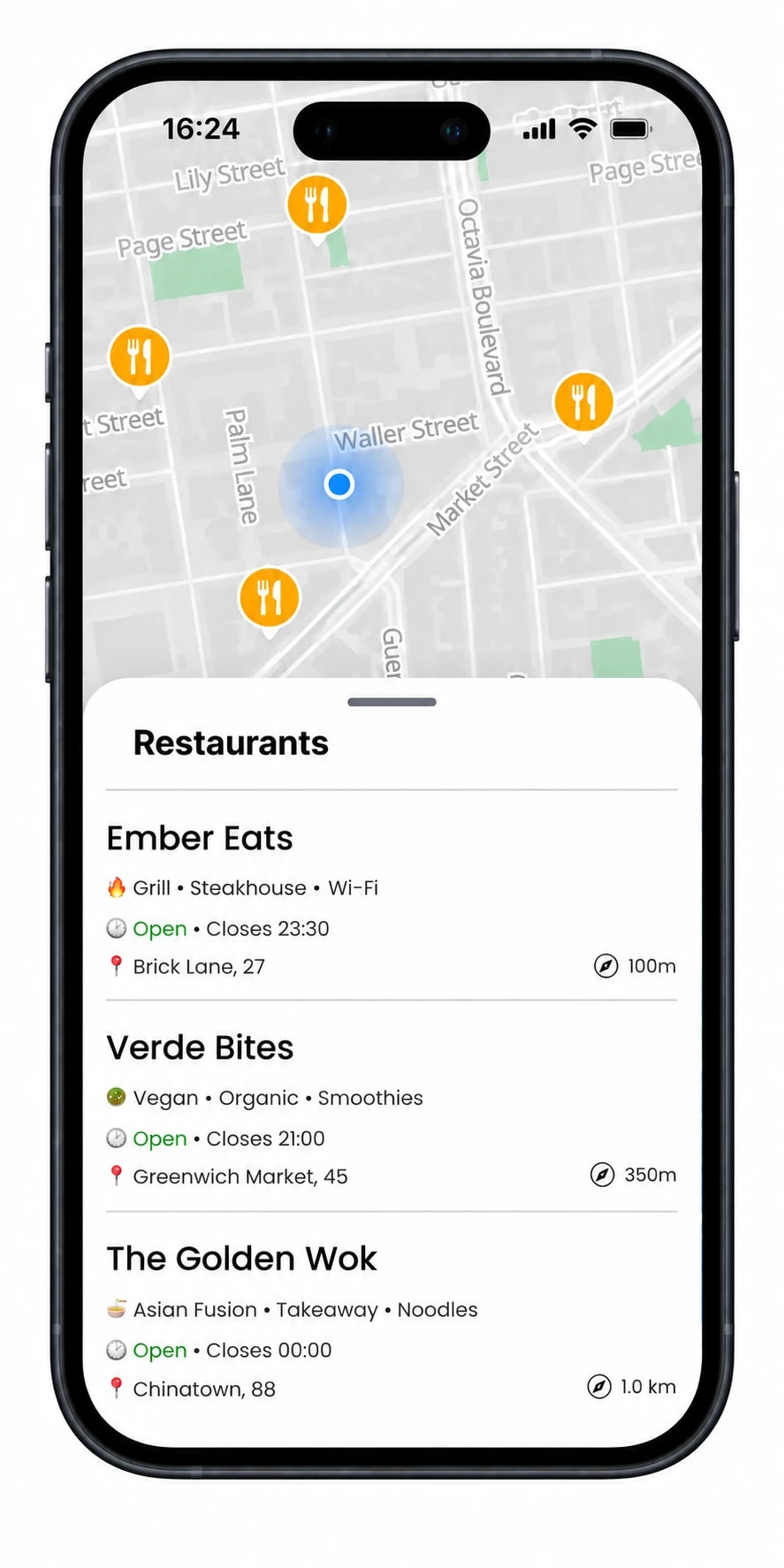
Point of interest search and discovery feature with location filtering and category browsing
Points of interest

Let Users Explore What's Nearby

Surface restaurants, transit stops, hotels, and hundreds of POI categories on any map. Your users find what matters to them without leaving your app.

Learn more
Local data layers

Enrich Maps with Real-World Data

Layer real estate trends, foot traffic, and demographic data onto your maps. Turn raw coordinates into context your users can actually act on.

Learn more
Real-time map analytics and location intelligence insights for data-driven decision making

Frequently asked questions

What is MapAtlas?

MapAtlas is a global mapping platform, built and hosted in Europe with geocoding, routing, search, and map-rendering APIs, built so location data stays accurate enough to be cited by AI search engines. All data is processed inside the EU.

How does MapAtlas help my listings appear in ChatGPT, Perplexity, and Google AI Overviews?

AI search engines extract specific, structured answers from pages with clear location signals: precise coordinates, FAQPage schema, transit and walking-distance data, and consistent NAP information. MapAtlas APIs supply that data, and the free AI SEO Checker scores your listing against 29 signals AI systems use when deciding what to cite.

How accurate is MapAtlas location data?

Accuracy comes from one of the largest combined location datasets in the industry: roughly 1 billion location records (streets, addresses, postcodes, and administrative boundaries) and around 100 million points of interest worldwide. The dataset is built from official cadastral, postal, and government open-data sources combined with proprietary verification, keeping geocoding accurate to the building level in cities and street level elsewhere. Routing uses live road network updates, and accuracy is benchmarked against ground-truth references on a regular basis.

Does MapAtlas have a free tier?

Yes. The free tier includes monthly quotas across map loads, geocoding, search, and routing, plus full access to the AI SEO Checker and basic map styling. No credit card required. Quotas and upgrade thresholds are on the pricing page.

Can I add MapAtlas maps to my existing site without rewriting it?

Yes. Maps render through MapLibre GL and Leaflet, so most existing map code continues to work after swapping the script tag and API key. Geocoding, search, routing, and matrix endpoints use standard REST and return GeoJSON, so migrating from another provider is usually a one to two day job.

Which mapping APIs does MapAtlas offer?

Dynamic Maps, AI-Optimized Maps, Geocoding, Search, Directions, Matrix, Isochrone, Map Matching, Route Optimization, GeoEnrich, GeoFAQ, Property Discovery, and Holiday Stays. Each endpoint has its own pricing tier and code samples in the docs.

What is the AI SEO Checker?

A free tool at mapatlas.eu/ai-seo-checker that scores a single listing or page against 29 structured signals AI search engines look for: schema markup, location accuracy, FAQ presence, nearby context, transit data, and more. Most businesses score lower than they expect on first run.

How is MapAtlas priced?

Usage based, with a transparent per-request rate per API and a free tier that covers small projects. Pricing scales with API calls per month rather than seats or users, so cost tracks actual traffic. The pricing page has a calculator that estimates monthly cost for your call volume.