
Tutorial, Guide & Risorse
Tutorial per sviluppatori, confronti API e guide pratiche per costruire con MapAtlas.
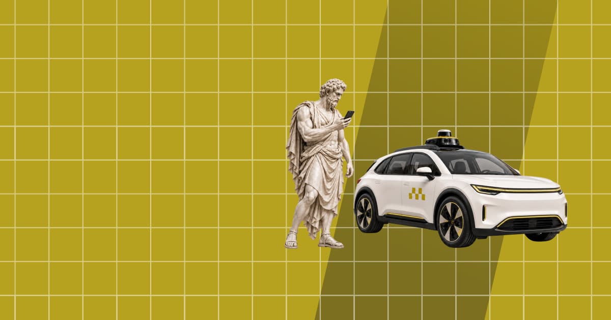
Robotaxi: tutte le città con taxi a guida autonoma (ottobre 2026)
A ottobre 2026 i robotaxi trasportano passeggeri in 32 città. In 17 il servizio è senza conducente e a pagamento, nessuna in Europa. Stato, regole e fonti.

Distanza in linea d'aria e su strada: quanto cambia davvero
Abbiamo calcolato 116 percorsi tra città. In mediana la strada è più lunga del 23,5% rispetto alla distanza in linea d'aria. Da Milano a Bologna solo del 7%.
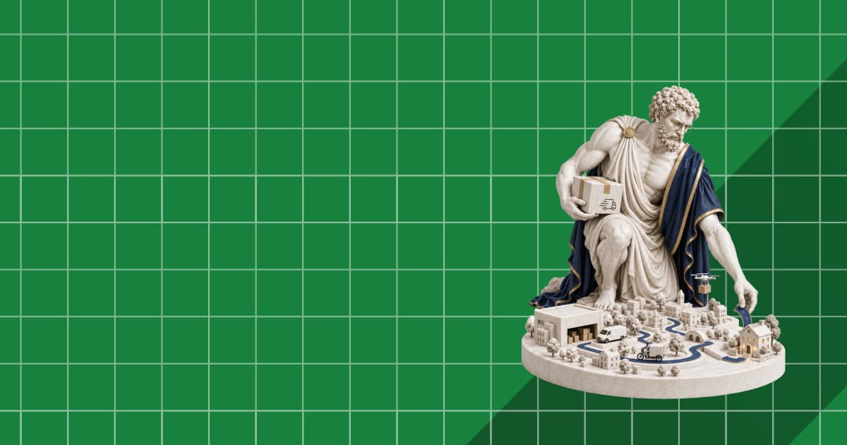
Last-Mile Delivery, Measured: Where a Delivery Route Loses Its Time
We routed 30-stop and 60-stop delivery rounds in Madrid, Paris and Amsterdam. Driving is a quarter of the day; parking and the walk to the door take the rest.

Catchment Area Analysis: Drive Times vs Circles
We drew 10-minute drive-time catchments and 5 km circles around 60 supermarkets in Lyon, Munich and Milan. The circle overcounts residents and reorders sites.

Low Emission Zones in Europe: What OpenStreetMap Maps, Country by Country
OpenStreetMap maps 170 low emission zones in 14 European countries. Counts per country, how they compare with official lists, and how to query them.

What Is a Proportional Symbol Map? Definition, Graduated Symbols, and How to Build One
A proportional symbol map sizes a circle at each location by a count. How to scale symbols by area, graduated vs proportional symbols, and a MapLibre build.

What Is a Dot Density Map? Definition, Examples, and How to Build One
A dot density map places one dot per N units of data inside each region. How dot maps work, how to pick a dot value, and how to build one on a web map.

Cartogramma: cos'è, tipi, esempi e come realizzarne uno
Un cartogramma ridimensiona le regioni in base a un valore invece che alla superficie. Tipi di cartogramma, esempi reali e come costruirne uno con i dati dei confini.
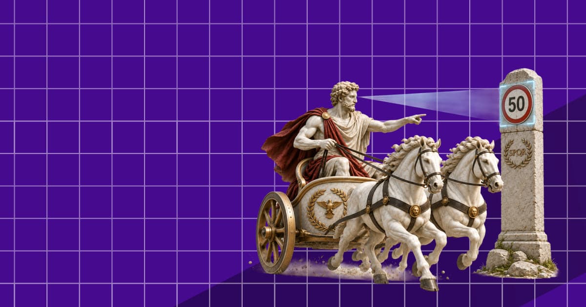
Intelligent Speed Assistance (ISA): How New Cars in Europe Know the Speed Limit
Intelligent speed assistance is required on every new car in the EU. How ISA finds the speed limit, what the law demands, and where the data goes wrong.