
튜토리얼, 가이드 & 리소스
개발자 튜토리얼, API 비교, MapAtlas를 활용한 개발 방법 가이드.

로보택시 트래커: 운행 도시 32곳 (2026년 10월)
2026년 10월 기준 로보택시가 달리는 도시는 32곳, 유료 무인 자율주행 택시는 17곳이며 유럽에는 없습니다. 도시별 현황, 규정, 출처를 정리했습니다.

As the Crow Flies vs by Road: How Much Longer Trips Really Are
We routed 116 city pairs and compared road distance with distance as the crow flies. The road is 23.5% longer at the median, and up to 2.9 times longer.

라스트마일 배송: 배송 경로는 어디에서 시간을 잃는가
라스트마일 배송 경로를 마드리드, 파리, 암스테르담에서 배송지 30곳과 60곳으로 측정했습니다. 운전은 하루의 4분의 1이고, 나머지는 주차 공간 탐색과 정차 시간입니다.

상권분석: 반경 대신 차량 도달 시간으로 상권 그리기
리옹, 뮌헨, 밀라노의 슈퍼마켓 60곳에 차로 10분 도달권과 반경 5km 원을 그려 상권분석을 비교했습니다. 원은 거주 인구를 과대 집계하고 입지 순위를 바꿉니다.

Low Emission Zones in Europe: What OpenStreetMap Maps, Country by Country
OpenStreetMap maps 170 low emission zones in 14 European countries. Counts per country, how they compare with official lists, and how to query them.

What Is a Proportional Symbol Map? Definition, Graduated Symbols, and How to Build One
A proportional symbol map sizes a circle at each location by a count. How to scale symbols by area, graduated vs proportional symbols, and a MapLibre build.
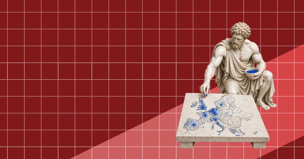
점묘도란? 정의, 사례, 만드는 방법
점묘도는 점 하나가 일정 단위를 나타내도록 지역 안에 점을 배치하는 지도입니다. 작동 방식과 점 단위 설정, 웹 지도에서 만드는 방법을 정리했습니다.

카토그램이란? 정의, 종류, 사례, 만드는 방법
카토그램은 면적 대신 데이터 값에 비례해 지역 크기를 조정하는 지도입니다. 종류와 실제 사례, 경계 데이터로 직접 만드는 방법을 정리했습니다.
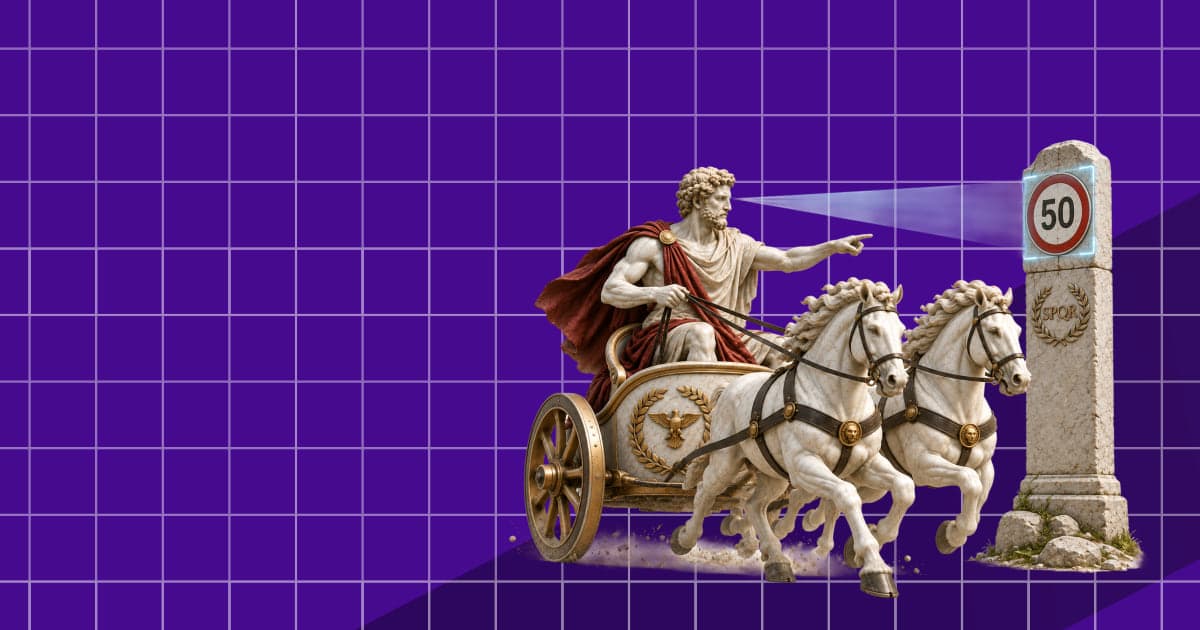
Intelligent Speed Assistance (ISA): How New Cars in Europe Know the Speed Limit
Intelligent speed assistance is required on every new car in the EU. How ISA finds the speed limit, what the law demands, and where the data goes wrong.